Trans-America USA + Mexico Overland 9,000-mile 31-day Roadtrip | Part 14 | Grand Canyon to Page, AZ - Chasing Sunrises, Towering Echo Cliffs, Painted Desert Dreams & an Iconic River Bend
 |
| Horseshoe Bend of Colorado River at Page, Arizona |
Good morning, fellow wanderers! It’s us, the Vagabond Couple, back with the 14th chapter of our 9,000-mile odyssey across North America. After a long day and restful night (see Yosemite to Grand Canyon via Fresno: Mojave Desert, Route 66 and Punjabi Dhabas from California into Arizona) in a luxurious resort near the Grand Canyon’s South Rim, we woke up before dawn - because anytime you’re at one of the Seven Natural Wonders of the World, you don’t sleep through sunrise. What followed was a day of staggering beauty, from the golden glow of the canyon at dawn to the technicolor cliffs of highway US-89, culminating at the iconic Horseshoe Bend. Buckle up, because this is the American Southwest at its most epic.
Grand Canyon Sunrise: When the Earth Breathes Fire
 |
| Grand Canyon Sunrise |
We arrived at Mather Point in the pre-dawn darkness, joining a small crowd of fellow sunrise chasers.
 |
| Grand Canyon Sunrise |
As the first hints of light crept over the horizon, the canyon began to awaken.
 |
| Grand Canyon Sunrise |
Shadows stretched like ink across the cliffs.
 |
| Grand Canyon Sunrise |
The layers of rock - 2 billion years of Earth’s history exposed - started to glow: first dusky purple, then rose gold and finally a fiery orange that set the entire canyon ablaze.
 |
| Grand Canyon Sunrise |
The Colorado River, a turquoise ribbon 6,000 feet below, shimmered as sunlight hit its bends. Ravens soared on thermals, their wings catching the light and for a moment, the canyon felt alive. The Hopi people believe this place is a portal to the spirit world and standing there, it wasn’t hard to imagine why.
 |
| Elk (wapiti) at Grand Canyon |
Elk (wapiti) are a common sight around the Grand Canyon, especially in the early mornings and evenings near the South Rim. These majestic animals, often seen grazing near roads and lodges, are the largest species in the deer family found in the area. While they may seem calm, it's important to admire them from a distance, as they can be unpredictable, especially during mating season in the fall.
Desert View Drive: Grand Canyon's Rimside Parade of Wonders
 |
| Grand Canyon National Park Entrance |
After breakfast at the resort (where we devoured prickly pear pancakes - when in Arizona!), we hit Arizona State Route 64 (AZ-64) Desert View Drive, a 25-mile stretch along the canyon’s edge with viewpoints that again left us speechless, despite this being our fourth time along the south rim over the last quarter century. Here’s the highlight reel.
Yaki Point
 |
| Grand Canyon |
A lesser-known gem with panoramic views of O’Neill Butte and the Kaibab Trail switchbacks. Fun fact: The name "Yaki" comes from the Navajo word for "little," though there’s nothing small about the vistas here.
Grandview Point
 |
| Colorado River from Grandview Point, Grand Canyon |
The name says it all. This was once the hub of a 19th-century copper mine and the remnants of the old Grandview Trail are still visible. The overlook frames Horseshoe Mesa, a plateau that looks like it was carved by giants.
Moran Point
 |
| Grandview Point, Grand Canyon |
Named after painter Thomas Moran, whose works inspired the creation of national parks. The layers of rock here tell a geological story - red Hermit Shale, white Coconino Sandstone and the charcoal Supai Group - like a rainbow turned to stone.
Lipan Point
The best spot to see the Colorado River’s Unkar Delta, where Ancestral Puebloans farmed over 1,000 years ago. Legend says their spirits still guard the canyon.
Desert View Watchtower
 |
| Grand Canyon |
A 70-foot stone tower designed by architect Mary Colter in the 1930s, inspired by Ancestral Puebloan structures. Inside, murals by Hopi artist Fred Kabotie depict creation stories. Climbing to the top, we could see all the way to the Painted Desert - a vista that stole our breath.
How the Grand Canyon Experience Has Changed Over Time
Visiting the Grand Canyon today has become a much more controlled and regulated experience compared to two decades ago.
 |
| Grand Canyon |
Back then, there were fewer fences, fewer restrictions and a far less crowded environment. Many viewpoints were more open, allowing visitors to walk right up to the canyon’s edge with little obstruction. While this offered a more immersive experience, it also posed significant risks.
Over time, increased visitor numbers, safety concerns and environmental preservation efforts led to more designated viewing areas, fenced-off sections and restricted access to certain trails. The National Park Service has implemented these changes to prevent accidents, manage foot traffic and protect the fragile ecosystem of the canyon.
While some (including us!) might long for the freedom of the past, these measures ensure that future generations can continue to enjoy the Grand Canyon responsibly and safely.
Highway US-89 North: Where the Desert Sings in Color
At the junction of AZ-64 with US-89, we turned north, reuniting with the highway we’d left days ago near Kanab, Utah (see the couple of episodes from Moab to Kanab, Utah | I-70 West Vistas, Arches of Red Canyon in Dixie National Forest, Kodachrome Basin & Grosvenor Arch in Grand Staircase-Escalante). The landscape here is a geological opera!
Echo Cliffs
A 1,000-foot-tall sandstone wall that runs for 60 miles, its striations glowing like embers in the midday sun. Navajo lore says the cliffs echo because they’re hollow - home to the Ye’iitsoh, a giant monster slain by the Hero Twins.
Painted Desert
A kaleidoscope of badlands in lavender, ochre and rust. The Navajo call this area "Adahooniłigii", meaning "place where the colors run." A part of this area is visible from top of the watchtower at southeastern corner of the Grand Canyon.
Little Colorado River Gorge
 |
| Little Colorado River Gorge |
A mini-canyon with electric blue waters (when the sun hits just right). To the Hopi, this is the gateway to the underworld, Sipapu.
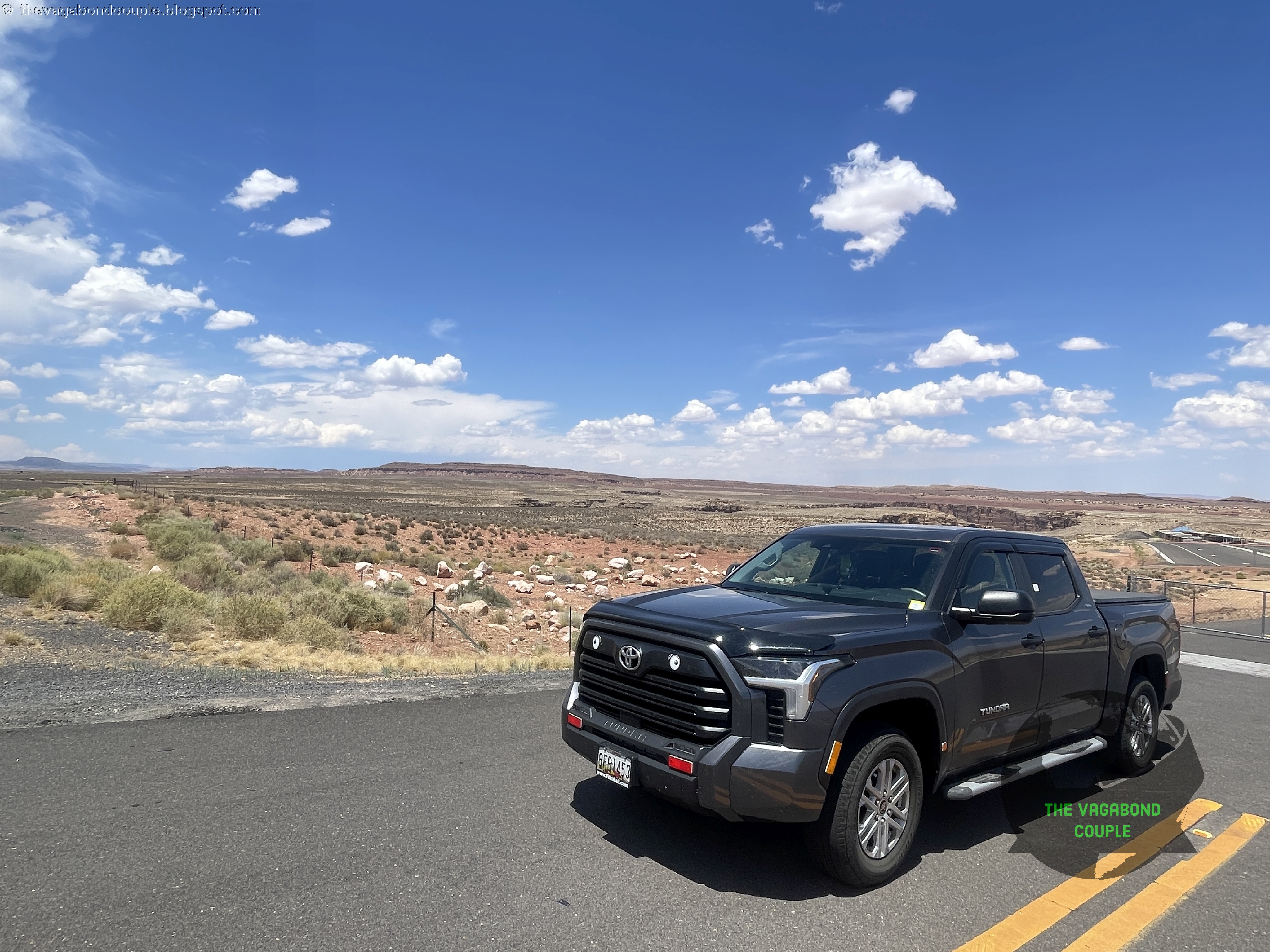 |
| Shehzadi at Gates to Little Colorado River Gorge |
Shehzadi continued to cruise effortlessly through this open terrain, the Tundra’s engine humming as we gaped at the scenery.
Antelope Pass: Vermillion Cliffs, Echo Cliffs, Marble Canyon & Navajo Mountains
 |
| Vermillion Cliffs, Echo Cliffs, Marble Valley, Marble Canyon & Navajo Mountains view from Antelope Pass (Panorama) |
Antelope Pass is located just north of the US-89 and US-89A split. Continuing on US-89, there is a viewpoint called "Antelope Pass Vista" with sweeping views of the vast Arizona landscape.
 |
| Echo Cliffs across Marble Valley at Antelope Pass (and rain on Navajo Mountains) |
From the Antelope Pass Vista, you can see the dramatic drop into Marble Canyon, the colorful Vermilion Cliffs stretching to the west and the distant outline of Navajo Mountain to the northeast. The winding road descends toward the desert floor negotiating towering cliffs, revealing the stunning rock formations and open spaces of the Navajo Nation, making it an incredibly scenic and unforgettable drive.
 |
| Navajo Mountains across Marble Valley at Antelope Pass (it's raining out there) |
Sitting at an elevation of approximately 6,150 feet, Antelope Pass offers a commanding view of the rugged terrain that defines this part of northern Arizona. To the west rise the towering Vermilion Cliffs, their deep red and orange hues glowing in the sunlight, while to the east, the Echo Cliffs create a striking contrast with their layered rock formations.
 |
| Vermillion Cliffs view from Antelope Pass |
Below, Marble Valley plunges nearly 2,500 feet to the winding path of the Colorado River, which has carved this breathtaking canyon over millions of years.
 |
| Vermillion Cliffs view from Antelope Pass |
This region is deeply rooted in Native American culture, with the Navajo and Hopi people holding these lands sacred. Legends tell of spirits residing in the cliffs and water and the Colorado River is often revered as a life-giving force that connects the past with the present.
 |
| Marble Canyon carved by Colorado River at Marble Valley viewed from Antelope Pass above |
The landscape’s towering rock formations, such as the Kaibito Plateau and the distant buttes of Glen Canyon, stand as silent witnesses to the passage of time, carrying with them stories of ancient peoples, explorers and the ever-changing forces of nature.
Standing here looking at the vista before us, we remember Canyonlands National Park which we visited just about 10 days earlier. Canyonlands National Park is a vast, rugged expanse of deep canyons, towering mesas and winding rivers, where the Colorado and Green Rivers have sculpted a landscape of immense scale and isolation. In contrast, Antelope Pass Vista here along US-89 offers a more immediate, sweeping view of Colorado River-sculpted Marble Valley and Marble Canyon and the surrounding cliffs, providing a dramatic roadside perspective of the terrain without the need for backcountry exploration. While Canyonlands feels remote and untamed, Antelope Pass serves as a striking gateway to the grandeur of northern Arizona’s canyon country.
Horseshoe Bend: The Colorado’s Iconic Curl
 |
| Horseshoe Bend |
Just before Page, we parked at the Horseshoe Bend trailhead. The 1.5-mile round-trip hike is easy but hot in July - bring water! - and ends at a precipice overlooking the Colorado River’s perfect 270-degree bend.
 |
| View from the trail to Horseshoe Bend |
The river’s emerald-green waters contrast with the burnt-orange cliffs and the drop is vertigo-inducing (1,000 feet straight down).
 |
| Horseshoe Bend |
Down below, nestled near the Horseshoe Bend, we see a couple of tents and boats at the 8 Mile Bar Camps campground which offers a laid-back, rustic retreat for travelers looking to soak in the desert’s raw beauty. This no-frills campground sits along the banks of the Colorado River right on the bend, where cottonwood trees provide patches of shade and the red-rock cliffs glow in the sunset.
 |
| 8 Mile Bar Camps rustic campground seen far below Horseshoe Bend overlook |
With basic amenities like picnic tables and vault toilets, this campground offers a peaceful spot for tent campers and small RVs, just a short drive from the famous overlook. As night falls, the sky bursts with stars and the quiet murmur of the river makes it a perfect escape for those who love rugged, off-the-beaten-path camping
We’d seen a similar bend at Dead Horse Point in Utah, but here’s the difference:
- Horseshoe Bend: Dramatic and vast, best for that iconic photo that represents the American southwest to the entire world!
- Dead Horse Point: More intimate, with layers of canyon walls adding depth.
(We slightly prefer the latter’s raw solitude.)
The Navajo call this area "Tsé Bii’ Ndzisgaii" (White Rim Rocks) and stories say the river’s curve was shaped by a water serpent’s coil.
Page, AZ: Gateway to Slot Canyon Dreams
We checked into our hotel in Page, a town built in the 1950s to house workers for the Glen Canyon Dam. Tomorrow, we’ll explore Antelope Canyon (the most beautiful slot canyon we’ve ever seen) and the surreal waters of Lake Powell, the second largest reservoir of North America after Lake Mead formed by Hoover Dam also on the Colorado river.
It’s wild how the same forces that carved the great Moab Desert just north of here across the the Utah border also sculpted these landscapes. The Navajo and Hopi have lived here for millenia and their stories are etched into the rocks as surely as the wind and water.
Watch our dashcam video recording of the drive from Grand Canyon to Page via Marble Canyon, Vermillion Cliffs, Echo Cliffs, Navajo Mountains, Painted Desert and Horseshoe Bend parking area:
Watch: The Grand Canyon to Page, Arizona Drive via Horseshoe Bend: US Highway 89 - Cameron AZ to Page AZ
Final Thoughts
Today was a reminder that the Southwest isn’t just a place - it’s a living canvas. From the Grand Canyon’s sunrise to the singing cliffs of US-89, every mile felt like a gift.
Tomorrow: Antelope Canyon’s light beams, the liquid sapphire of Lake Powell, desert art of the Painted Desert Project, and deep into ancient Navajo Nation and Tuba City (see Slot Canyons & Sacred Lands | Glen Canyon, Lake Powell, Antelope Canyon, Tuba City & Ghosts of Route 66 on Hwy 89 to Flagstaff). Stay tuned and keep chasing those horizons!
Reference route map of The Vagabond Couple's 9,000-mile USA & Mexico overland roundtrip: Map-1 and Map-2.
- The Vagabond Couple & Shehzadi 🚙💨
0 comments